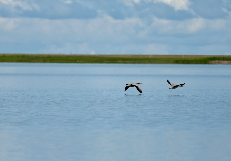
世界最大的高山草甸湿地

茶卡盐池位于柴达木盆地的东部边缘,乌兰县茶卡镇南侧。北依巍峨的完颜通布山,南靠旺秀山,东濒茶塘盆地,是一个富饶而美丽的天然盐湖。地理坐标为东经99°02′~99°02′,北纬36°18′~36°45′。 盆地东西长80km,宽30km,面积2400k㎡。茶卡盐湖位于茶卡盆地的西部,长15.8km,宽9.2km,面积154k㎡,湖面海拔3059米;盐湖的边缘呈放射状展布的茶卡河、莫河、小察汗乌苏河等河水直接入湖,并且在湖区东部泉水发育,以地下水的形式补给茶卡盐湖湖盆。
Chaka Salt Pond is located on the eastern edge of Qaidam Basin, south of Chaka Town, Ulan County. Adjacent to the majestic Wanyan Tongbu Mountain in the north, Wangxiu Mountain in the south, and Chatang Basin in the east, it is a rich and beautiful natural salt lake. The geographical coordinates are 99°02′~99°02′ east longitude and 36°18′~36°45′ north latitude. The basin is 80km long from east to west, 30km wide, and covers an area of 2400k㎡. Chaka Salt Lake is located in the west of the Chaka Basin, with a length of 15.8km, a width of 9.2km, an area of 154k㎡, and a lake surface of 3059 meters above sea level; the edge of the salt lake is radially distributed by the Chaka River, Mo River, Xiaochahan Wusu River and other rivers It directly enters the lake, and springs develop in the east of the lake area, supplying the Chaka Salt Lake basin in the form of groundwater.
